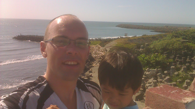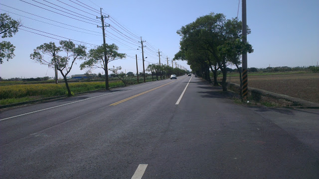
Late on Sunday morning Christopher and I set out to explore a little more of Tainan. Most of the time we head west or north, but today we followed a tourist map towards the south and the popular destination of Zeelandia Fort.
Despite my best efforts to get to bed early for an early start I stayed up to 4:00 messing around with the configuration of my bike. Also had to fix some tire issues and experiment with some setup changes.
So at around 10:30, the little bundle of young boyishness and I awoke to set out on our journey.
A pleasant breakfast at our Sunday morning joint started off our morning before heading out.
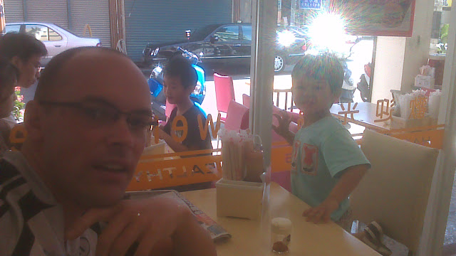
Before I begin I have to state that the map I used was almost utterly useless for finding any of the places I was looking for. It had plenty of detail of places to see, but the scale and accuracy of the map were completely hopeless and I ended up guessing a lot of the time. With destinations that were slightly off the beaten track we missed some of the smaller places I had hoped to see. Next time, we’ll be searching for the places we missed.
So anyways, we set off to the south-west towards Tainan City proper.
I’ve become a little more familiar with the quieter roads and so headed past the Spring Garden Golf Resort, our own local 9-hole short range golf spot.
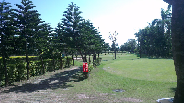
It appears to be quite popular on weekends, but most likely for lunches and stuff because everyone was by the clubhouse, with very few on the course. Or perhaps it was the sun scaring everyone off the course.
We continued on to the 17 and the bridge that crosses the river. After crossing the bridge, the map started to come into play. This was also when I realized the map was vastly oversimplified and missing much of the detail needed.
We hooked a right and headed towards a prominent temple. The first one we came across was obviously not the one we were looking for and was at best an average temple.
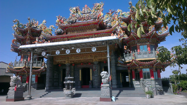
So trying to sniff out the right direction we headed off to find the real temple.
Sure enough, the sight of multiple huge towers confirmed we had been in the wrong place.
We had now found the Temple.
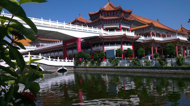
The correct temple is pretty darn huge. Small streams down either side, flanked by double-story buildings. The buildings run three deep or so from the entrance and there are stores and other things by the entrance. I only took pictures from the outside and didn’t head in. It’s just my own issues with actually obeying “no bike” signs by the pedestrian entrance.
I believe I found the memorial park, but am unsure because the marker for the park and temple are the same size, but the park is vastly smaller than the temple.
By this stage I was getting pretty fed up with the map I was using. The final straw, however, was the imaginary bridge. What appeared on the map to be a bridge was nowhere in sight. I noticed a car that tried to follow the same route, but made a U-turn, much like we ended up doing.
So we got back to the 17 and headed across to a better marked section of roads. There was not much to see here, except for some of the Tainan science park. Apparently there are things to see here, but I was following the more accurate map which lacked most of the sight-seeing bits and bobs.
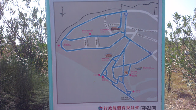
At this point I took a picture of a map that marked out the riding path around the area. I followed this new map exclusively for the rest of the trip and headed for roads I was familiar with.
I knew what Anping, our final destination, had to offer, so made a quick pace for there.
The bridge over the river to Anping gives a great view of the ocean as well as the river through the mangroves.
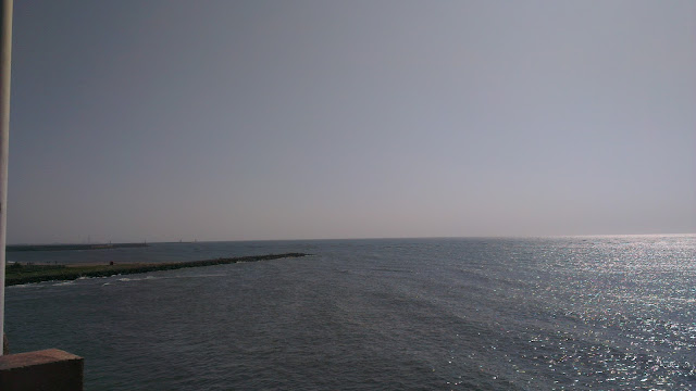
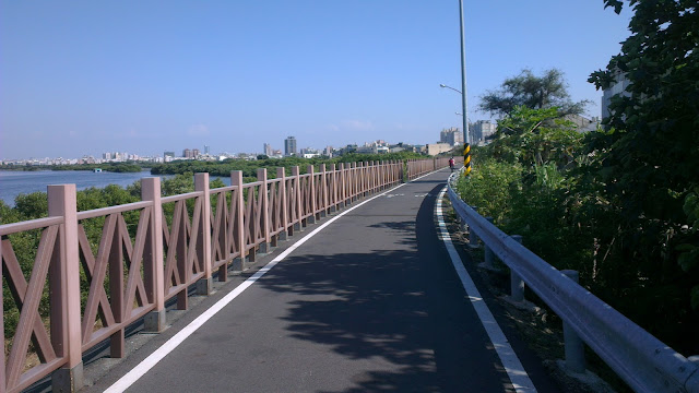
After negotiating with the crowds of people fishing on the bridge, we made a quick turn to follow the riverside path towards Fort Zeelandia. The path follows the river for some 3km or so and then plops you down near the fort.
The riverside path is good enough, but has more than a few motorbikes on it. Most of those were people who were going fishing, so they rode their scooters along the bike path and then parked them in the way.
We made a quick stop at a 7-11 to pick up some goodies, and then went back to the riverside trail to take a rest in the nearby parks.
A spot on small tower-looking thing served well and we enjoyed ice-creams and other sweet treats that were perfect for the hot day we were having.
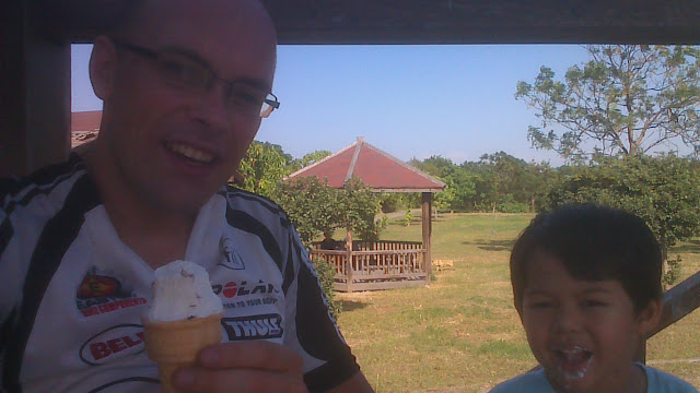
The clean bathrooms nearby were a welcome sight and after make good use of the facilities Christopher decided he needed to test out the slide, which was the last thing before we headed home.
The way back, as with the ends of many journeys, was quiet. A quick stop at a 7-11 for refreshments and to give Christopher a chance to stretch his legs was the last stop before getting home.
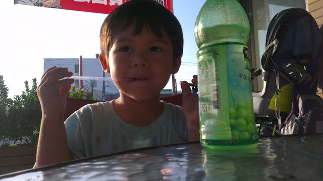
The ride back was a slog into the wind. The combination of a strong headwind and the kids seat that acts like a sail were enough to slow progress significantly. But considering this was a pleasure ride, it was all good.
The best takeaway from this ride is that Tainan city is not unreasonably far to take Christopher on the bike. He seemed comfortable for the whole trip, he kept talking to me the whole time. This opens up a few possibilities for longer day trips in the area on bikes. Just need to think of where to go next.
