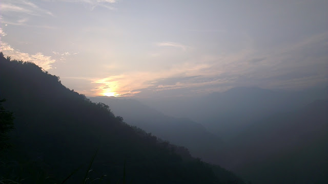
On the Friday evening I was given the go ahead for a ride on the weekend. I’ve had it in mind to head to the mountains, and that’s where I wanted to go.
I went straight to Google Maps and started plotting my course.
Typically I stick to the known roads in my neighborhood, those roads that I know where the busy parts are, how to avoid the icky parts, and which roads are better.
But there is an adventure in going to somewhere new.
Also, the mountains are only a 50km ride away, so it’s not too much of a stretch to ride there for the scenery.
Route Planning
My first and biggest concern for this trip was the traffic. I am very wary of busy routes.
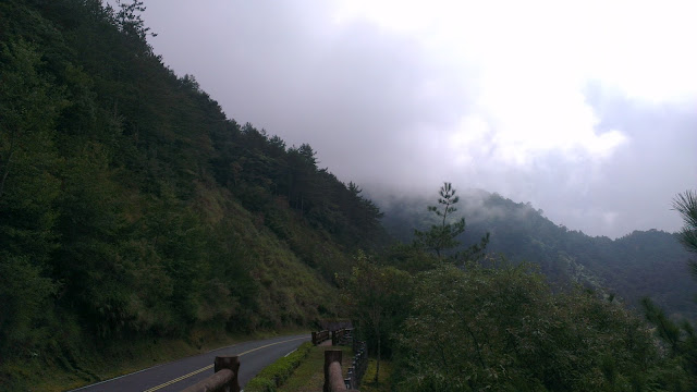
The main road up to Alishan is the No. 18. This road is pretty well-maintained. However, it is the main route to the Alishan resort, which is a very popular destination for tourists. Tourists are fine, but the tour busses they use are too big for these little roads.
It’s actually a wonder to me that they don’t limit the size of vehicles allowed on this very scenic road. There is very little reason that full-sized tour busses are needed. Limiting the mountain roads to 20-people, or smaller, busses would make the whole route so much more pleasant. The tour bus concern applies to Sun Moon Lake as well.
Anyways, I was looking for alternatives for at least part of the route.
I stumbled upon Andrew Kerslake’s and Michael Turton’s reports about a ride they had taken from the Taichung side and then back down to Chiayi.
Most notably was an alternate route that would avoid a pretty large chunk of the No. 18. It looked good and so the plan was set. Up the 159甲, then hook up with the No.18 later on. This would shave 46km of tourist bus busyness off the trip.
Departure
I had no idea quite how long the trip would take, so I started early.
Left the door at 2:00AM. Paced myself through the well-lit roads of the flatlands towards the small-big city of Chiayi, which is nestled at the foot of the central mountain range.
Settled into an easy 25km/h to Chiayi where I stopped for a rice lunch box at a 7-11. Not yum, but intended to fill the gap. I also stocked up on 4 rice triangles for the long section ahead which I expected to be short on food stops.
The Hills Begin
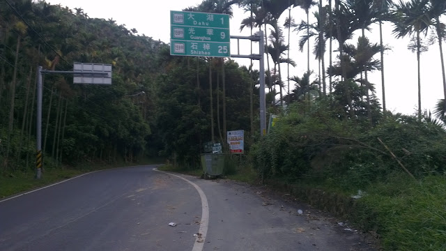
On heading out of Chiayi I jumped straight onto the 159甲 and was greeted by what was to be a day absolutely chock full of climbing.
The road took a sudden turn upwards, not too drastic, but it maintained like that for quite a while.
I bumped into one other rider who was going just a short bit of the climb to a big temple.
I pushed on and hit the summit of the first hill sometime later.
The 159甲 did surprise me a little, as it had a lot more ups and downs than I expected. If you want a more consistent, continuous climb then the main road would be the best bet I think. The upside was that there were no other cars on the road, I think there were only 5 cars before I hit the no. 18 later in the morning.
It also started to become clear that I was going to be short on food. With nowhere to buy anything, my rice triangles were going to have to fuel me for a lot longer than I had anticipated.
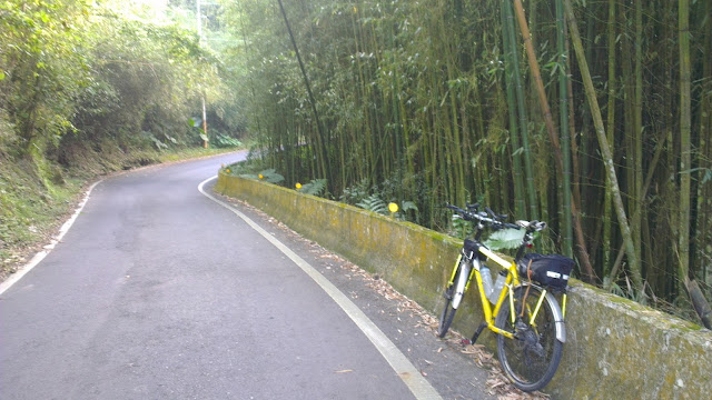
I stopped to fuel up on some of the food I’d brought and also had a look at how much water I had left. It was not looking good.
Thankfully, somewhere along the road I bumped into a store that just had a whole bunch of stuff, including water. I filled up my bottles, polished off a good load of water and headed on.
The Main Haul
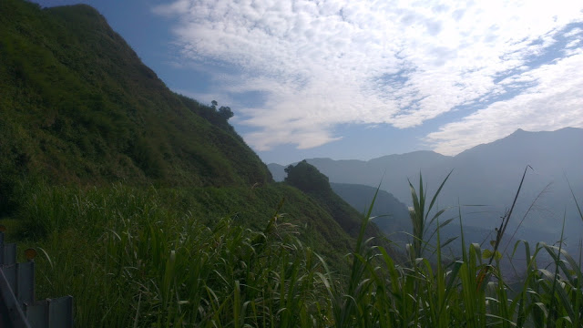
It really is an understatement to say that the mountains are beautiful. They are stunning.
I joined the No. 18 to the constant buzz of big busses passing by. To their credit, almost every single one moved over to give me room as they passed. Although at this point I have to say that I have an instinctive habit of riding a bit out into the road and then pressing closer to the shoulder as the sound of the bus gets very close behind me.
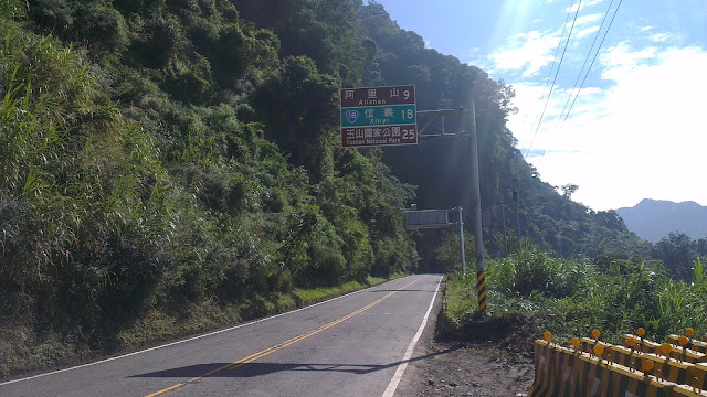
There is so much beauty that gets missed when taking cars or busses. At almost any point where I felt tired I would simple move over to the side and lose myself in the wonder of these awesome mountains.
Moving at between 10km/h to 20km/h it’s pretty hard to miss anything on the route.
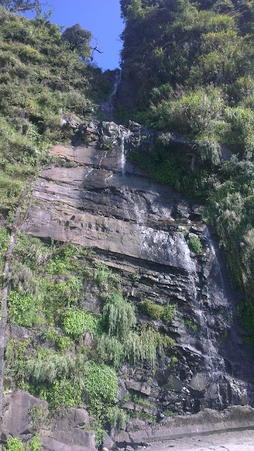
This little waterfall (waterflow) was just one small example that would go almost unnoticed by anyone other than someone on foot or on a bicycle.
From here on, it was just continuous uphill, me against the mountain.
It was a long, consistent grind to the top.
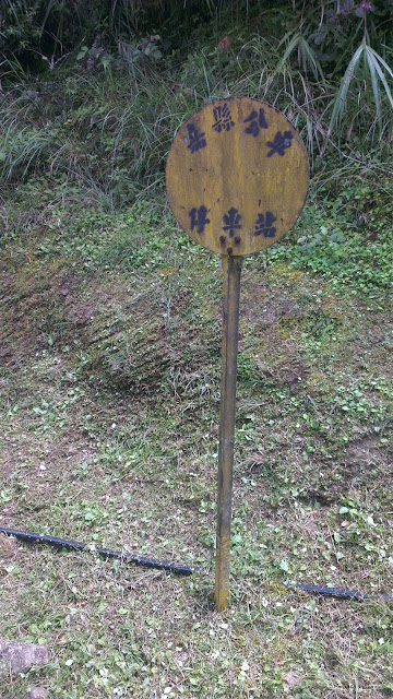
Another gem spotted on the way was this old bus stop sign, but no buses stopping there now.
Alishan
Finally I reached the Alishan area.
I was getting quite hungry, so just wanted to get to a convenience store and fill up.
As it turns out, I would have to pay NT$200 to get into the damned place, just to go to the convenience store. I was pissed off. I’d spent 9 hours (or so) getting to this point, to be told I’d have to fork out more for a bloody entrance fee than I was intending to spend at the store.
I turned around and headed towards the peak…
…best decision ever!
After this point there were NO MORE BUSES.
What is wrong with the world?
This part after Alishan has old forests with trees that are hundreds of years old. There’s cool, crisp air. A thin mist sits atop of everything.
Alishan is a tourist trap, perfect for consumers, pay a few bucks, see an old train, spend, spend, spend. Argh.
I can’t understand the appeal for shopping up there. In South Africa there are trees everywhere. And natural (non-betelnut) trees are completely lacking in Taiwan, except for places like this.
Simple, natural beauty. Rant.
The Peak
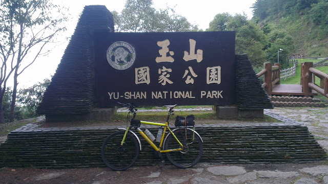
Well, maybe not the real peak, but as high as I got when my time ran out.
I wish I’d had more time to stay on this part of the route. Unfortunately, once I got to the sign above at midday, it was time to head home.
I stopped to take in the scenery, breath in a bit of the fresh, crisp air and ponder on whether I should wear a jacket for the ride down.
The jacket stayed wrapped in my bag and I got to experience a few shivers that were countered by keeping my legs turning over to keep my speed up.
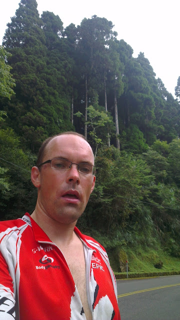
Now I was hungry and quite tired, but it was now downhill.
Homeward Bound
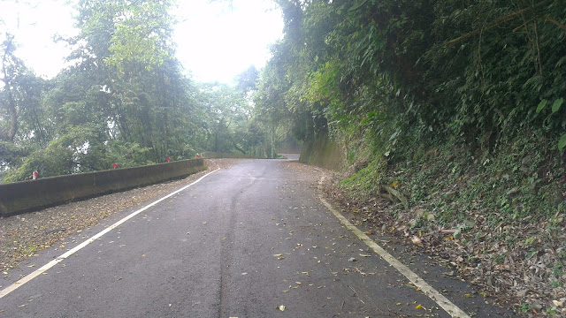
The downhill was fast and fun.
I have to say that being passed quickly by buses is more pleasant than riding with them at the same speed. The main road is sufficiently bad that hitting one of the many ruts at 50km/h+ is quite a thump. It was quick though. Seeing buses passing each other over double-solid lines around blind corners is a reminder of just how shit these drivers really can be. Keep your distance.
There was a passing thought to follow the main road all the way back to Chiayi, but following an unfamiliar, and unplanned, route on the way back didn’t seem sensible so I went back the way I’d come. A few more climbs, but still very little traffic and pleasant.
Had a 20 minute nap at the side of the road at one point along this road, then pressed on to Chiayi.
I stopped in at McDees for a huge injection of junk food before 50km of flatland cruising to get home.
Home
I got home at 19:00 or so and munched down some great food at my inlaws.
The end of a day to remember.
Being in the old trees at the top of the mountain was so peaceful and relaxing. It literally kept me invigorated or the entire week. Only after being up there do I realize how much I need to get outside and into the mountains.
Anyways I reached my goal of 2400m, I was aiming for 2500m but this was just fine for my liking.
Next time, I’ll leave earlier in the morning so I can get to the top earlier in the day, giving a little more time for exploring. I wonder what the road that stretches to Sun Moon Lake is like, that could be awesome.
Distance: 280km
Time: 17hrs (including rests)
Minimum Altitude: sea level
Maximum Altitude: 2400m
More pictures here.