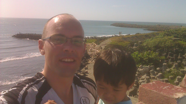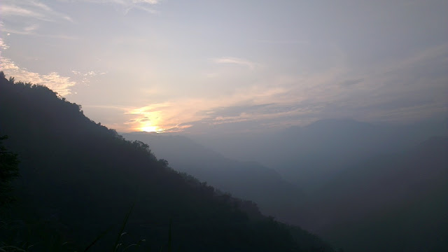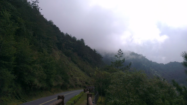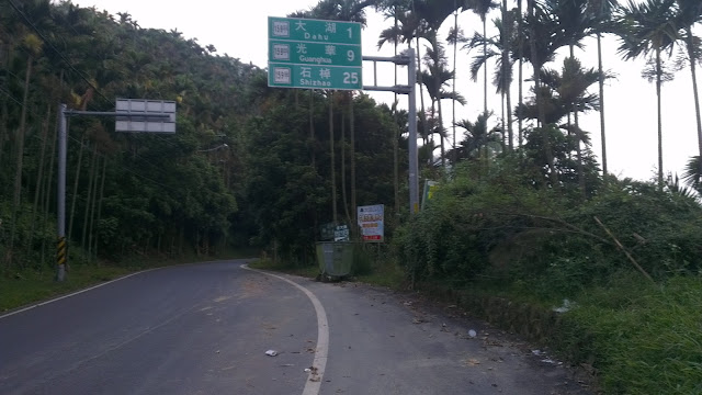
Exploring Dongshan Mountain Coffee Road in Tainan

IMAG0879.jpg
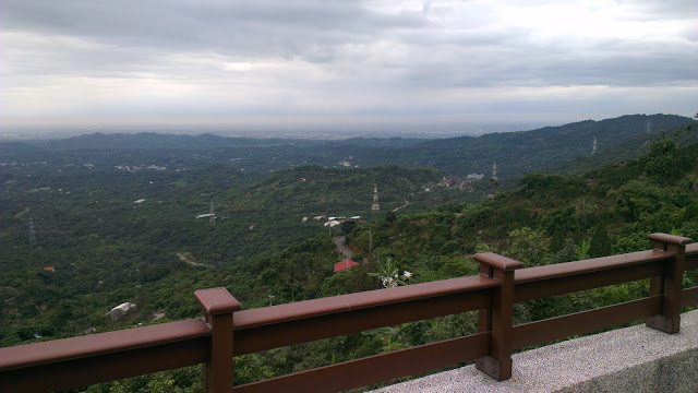
The View From a Peak Above Route 175

I had the morning off work, so with the kids at school and around four hours on my hands I set to exploring.

I have been keen to explore the mountains around Tainan. This hasn’t been hugely successful in the past, but I was determined to make it work out this time.

Alishan was one of the first I found. After riding up Alishan I had found that the ride to Jiayi City and the base of those hills was only around 50km from my front door. That is doable in 2 hours along pretty quiet roads.

The problem is that is still four hours of commuting time simply getting to the hills which doesn’t make it easy to get out and climb if you really want to.
IMAG0861.jpg
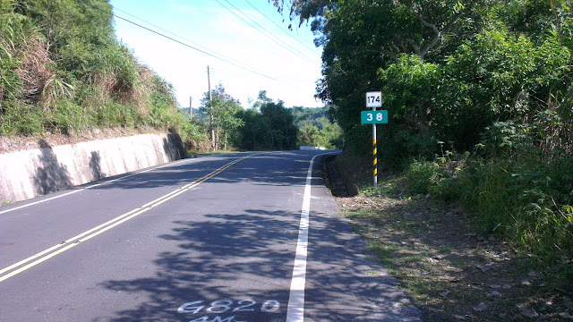
The Road Into The Hillside

The other one is the route to the southern cross-island highway. This route is, unfortunately, quite sucky. It involves a lot of traversing through towns and traffic lights and once you hit the hills they are really not all that pretty or inviting. It takes a long while to get to the awesome parts of that road. Maybe I’m picky, but if the hills are sucky, I’d rather just ride the flats. The southern cross has wonderful dramatic scenery with mountains plunging straight down into the rivers below, but if takes a good 80km or more to get to that good stuff.

An adult student of mine told me of an area quite close by that he said was both beautiful and quiet, a sacred combination in Taiwan, and another friend of mine had mentioned the area before too, so I searched around for the roads of Google maps and then headed off.

The route starts with a quick 10 minutes flat along my least favorite road to the nearby town of Madou, most famous for the scrumptious pomelos that I am so happy to gorge down on when that time of year comes around.

I have come to deal with the unpleasantness of this bit, and find that it now passes by quite effortlessly. Once through this town it’s quiet country roads, heading in a North-Easterly direction. All flat and quick going.
IMAG0862.jpg
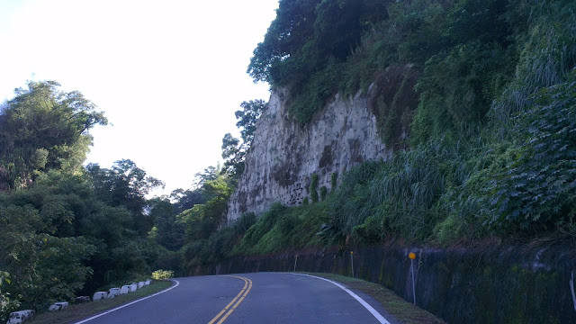
Steep Cliffs Along The Roadside

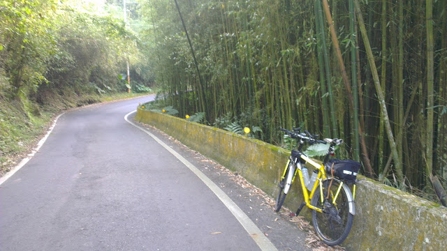
After passing through the small town on Liujia, I quickly arrived at the hills. Just 28km of flats and I was into the luscious green tree-lined roads that so epitomize Taiwan’s most beautiful mountain roads.

It slowly dawned on my that I had ridden these roads before, about 10 years ago, and they started fitting together like the pieces of a half-forgotten dream.

I continued climbing at a moderate pace in preparation for the much bigger climb I knew was waiting. The road twisted and turned, and rose and dropped gently enough to give me respite on the downs and not tax me on the ups.
IMAG0864.jpg
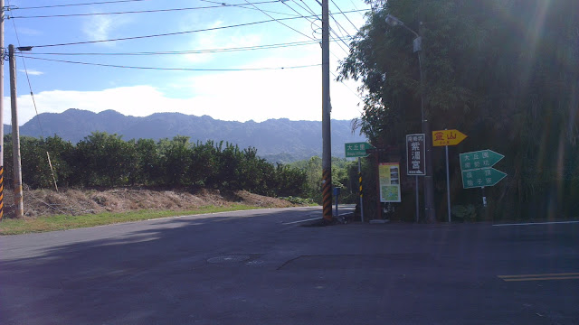
Alternative Roads for Exploring

Unlike the last time I was on these hills, I had a better idea of where to find the good stuff. Although modern technology has removed a lot of the element of surprise from most journeys, it has also opened up the way for finding the biggest and highest routes without exploring every road and without resorting to paper-based contour maps. Google Maps is my tour guide.
IMAG0866.jpg
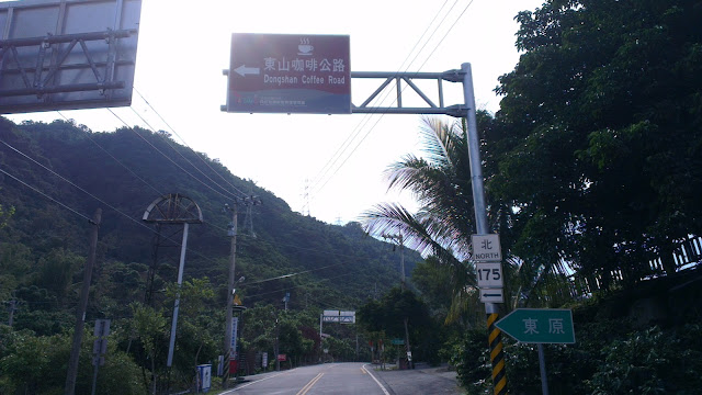
Turnoff to Dongshan Coffee Road
IMAG0867.jpg
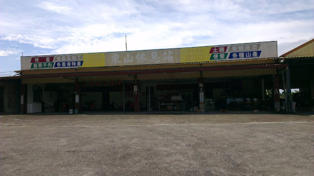
Butt-Ugly Rest Stop

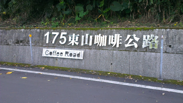
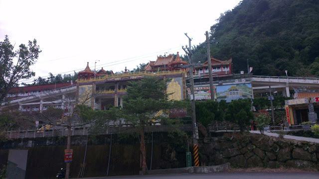
So at the butt-ugly rest stop I hooked a left onto the Dongshan Coffee Road, Tainan’s route 175. I was expecting endless lines of coffee shops but was actually greeted by nothing. A pleasant surprise, I have to say. I later found out that the vast majority of the coffee shops are in the vicinity of the huge temple on the hill. Not too surprising.
IMAG0869.jpg
Coffee Road

This road looked promising for further exploration, heading toward Guanzilin and Baihe, and being in close vicinity of a number of roads leading down to quiet rivers and the like. But today, my plans were taking me upward.

I was keeping my eye out for the climb to the top, but when I got to the first notable intersection I had already passed it.
IMAG0870.jpg
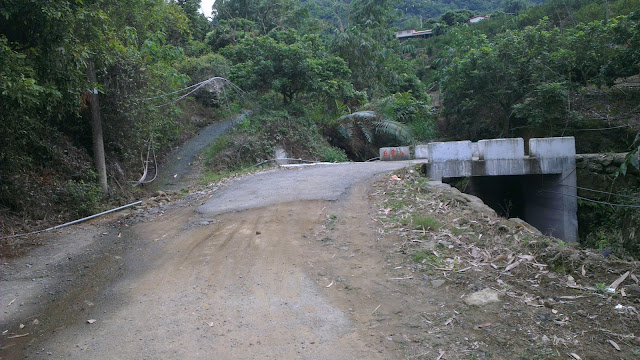
The Dusty Start

I backtracked and found the actual route to be a road possibly too narrow and too steep for a car. This was a slightly ominous sign, but with nothing to lose, and just fun on the menu, I just pressed on.
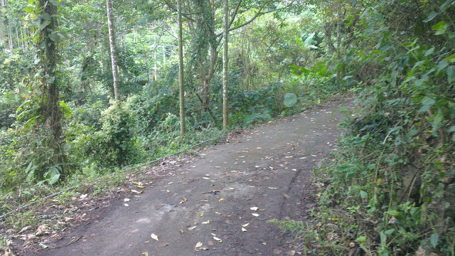
IMAG0872.jpg
Hardly Ever Used

As it turns out, Google Maps doesn’t quite differentiate between road sizes. What I ended up on were concrete strips heading directly up the hill. I was straining to keep upright while pommeling away in granny gear.

At one point I was following the concrete strip but had to backtrack (again) and take a path that was just dirt, but then connected up with concrete again.
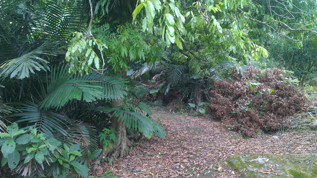
IMAG0874.jpg
Very Unused Road/Path

After plodding along for a little further I got to a road that looked like it might have been used by scooters at least a handful of times in the past year and after a last slippery section I popped out at a fully-fledged road.

I had inadvertently taken the road straight up rather than taking the twisting, turning route up.
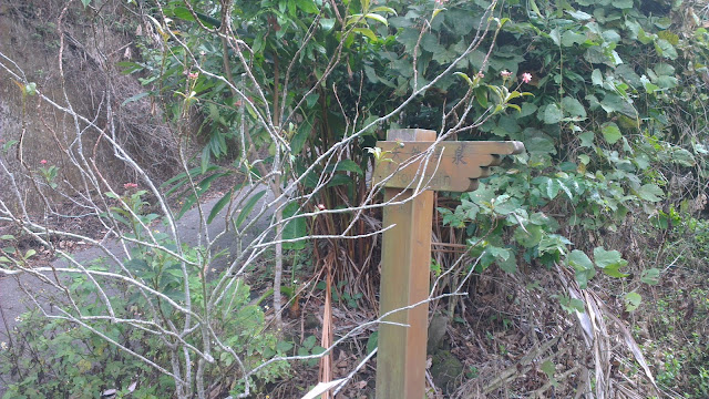
IMAG0875.jpg
Signs of Civilization

A quick , short, flattish section brought me to the crossroads of a few walking trails. These trailheads are often very well concealed and I was happy to find these and with a little more time can explore further into the hills. The detailed map shows where the paths head to. These all head to the top of the hill, or along the mountain range to who knows where. Trails for exploring.
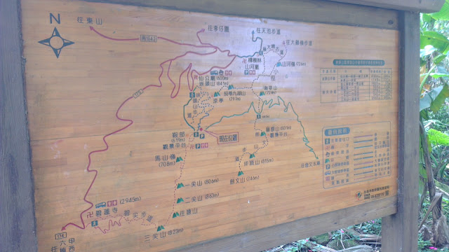
IMAG0876.jpg
Map of the Local Trail Network

So after some quick pics and avoiding a few very nasty wasp-like things I headed back on down the hill. This time I followed the main road. Passed the huge temple, cruised on down for 300 vertical meters and was then back on the coffee road for the trek home.
IMAG0878.jpg
Big Temple in the Hills

I have to make a shout out to Corne who had mentioned these roads before. I had come to believe that Tainan was without any hills but as it turns out they are only a short hop from my front door. Less than an hour with a bit of a push.

All photos of Dongshan Mountain Coffee Road in Tainan ride on Picasa.
Touring Tainan

IMAG0741.jpg
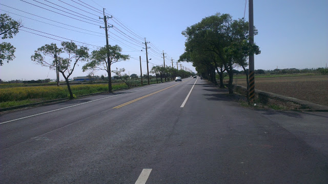
Pleasant Country Road

Late on Sunday morning Christopher and I set out to explore a little more of Tainan. Most of the time we head west or north, but today we followed a tourist map towards the south and the popular destination of Zeelandia Fort.

Despite my best efforts to get to bed early for an early start I stayed up to 4:00 messing around with the configuration of my bike. Also had to fix some tire issues and experiment with some setup changes.

So at around 10:30, the little bundle of young boyishness and I awoke to set out on our journey.

A pleasant breakfast at our Sunday morning joint started off our morning before heading out.

IMAG0737.jpg
Breakfast With Christopher

Before I begin I have to state that the map I used was almost utterly useless for finding any of the places I was looking for. It had plenty of detail of places to see, but the scale and accuracy of the map were completely hopeless and I ended up guessing a lot of the time. With destinations that were slightly off the beaten track we missed some of the smaller places I had hoped to see. Next time, we’ll be searching for the places we missed.

So anyways, we set off to the south-west towards Tainan City proper.

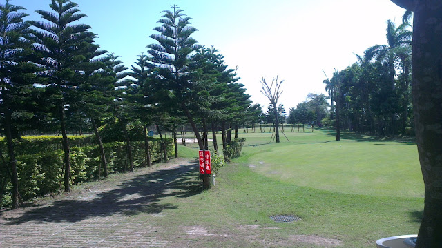
I’ve become a little more familiar with the quieter roads and so headed past the Spring Garden Golf Resort, our own local 9-hole short range golf spot.

IMAG0743.jpg
Spring Garden Golf Range

It appears to be quite popular on weekends, but most likely for lunches and stuff because everyone was by the clubhouse, with very few on the course. Or perhaps it was the sun scaring everyone off the course.

We continued on to the 17 and the bridge that crosses the river. After crossing the bridge, the map started to come into play. This was also when I realized the map was vastly oversimplified and missing much of the detail needed.

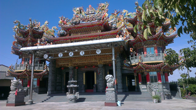
We hooked a right and headed towards a prominent temple. The first one we came across was obviously not the one we were looking for and was at best an average temple.

IMAG0746.jpg
Average Temple

So trying to sniff out the right direction we headed off to find the real temple.

Sure enough, the sight of multiple huge towers confirmed we had been in the wrong place.

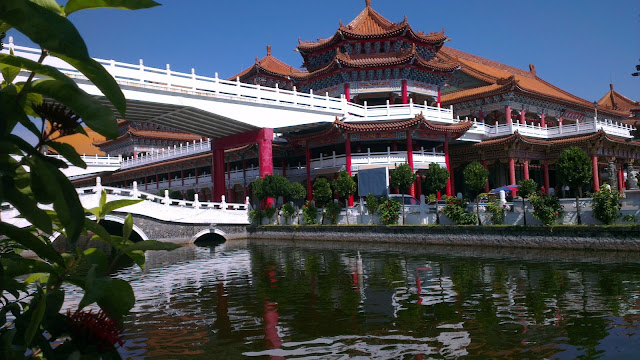
We had now found the Temple.

IMAG0749.jpg
Really Big Temple

The correct temple is pretty darn huge. Small streams down either side, flanked by double-story buildings. The buildings run three deep or so from the entrance and there are stores and other things by the entrance. I only took pictures from the outside and didn’t head in. It’s just my own issues with actually obeying “no bike” signs by the pedestrian entrance.

I believe I found the memorial park, but am unsure because the marker for the park and temple are the same size, but the park is vastly smaller than the temple.

By this stage I was getting pretty fed up with the map I was using. The final straw, however, was the imaginary bridge. What appeared on the map to be a bridge was nowhere in sight. I noticed a car that tried to follow the same route, but made a U-turn, much like we ended up doing.

So we got back to the 17 and headed across to a better marked section of roads. There was not much to see here, except for some of the Tainan science park. Apparently there are things to see here, but I was following the more accurate map which lacked most of the sight-seeing bits and bobs.

IMAG0757.jpg
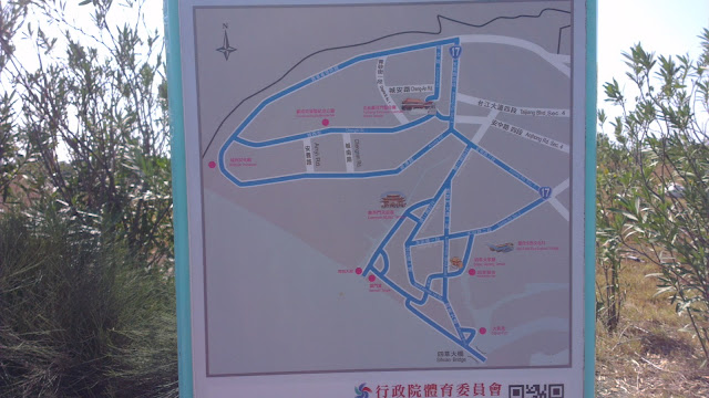
Finally, a Good Map

At this point I took a picture of a map that marked out the riding path around the area. I followed this new map exclusively for the rest of the trip and headed for roads I was familiar with.

I knew what Anping, our final destination, had to offer, so made a quick pace for there.

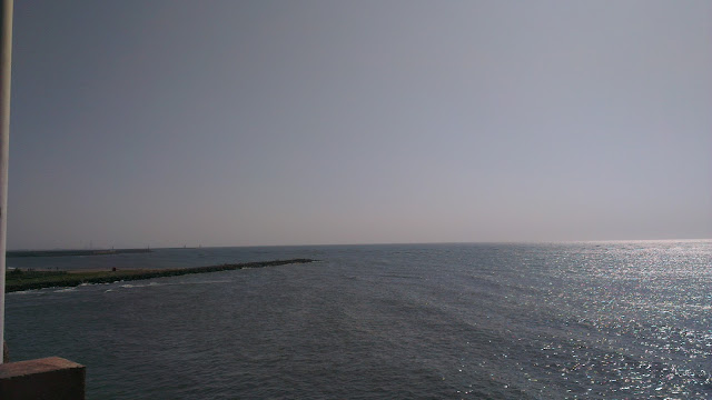
The bridge over the river to Anping gives a great view of the ocean as well as the river through the mangroves.

IMAG0761.jpg
The View Out to Sea

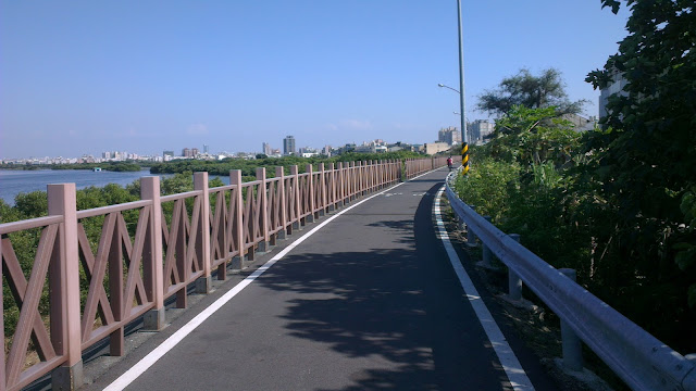
After negotiating with the crowds of people fishing on the bridge, we made a quick turn to follow the riverside path towards Fort Zeelandia. The path follows the river for some 3km or so and then plops you down near the fort.

The riverside path is good enough, but has more than a few motorbikes on it. Most of those were people who were going fishing, so they rode their scooters along the bike path and then parked them in the way.

IMAG0764.jpg
Anping Riverside Bike Path

We made a quick stop at a 7-11 to pick up some goodies, and then went back to the riverside trail to take a rest in the nearby parks.

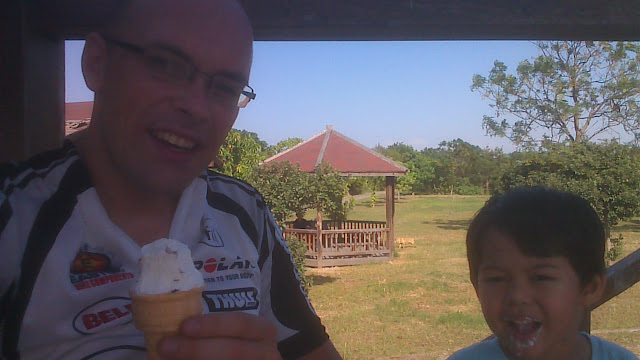
A spot on small tower-looking thing served well and we enjoyed ice-creams and other sweet treats that were perfect for the hot day we were having.

IMAG0769.jpg
Ice-cream in the Park

The clean bathrooms nearby were a welcome sight and after make good use of the facilities Christopher decided he needed to test out the slide, which was the last thing before we headed home.

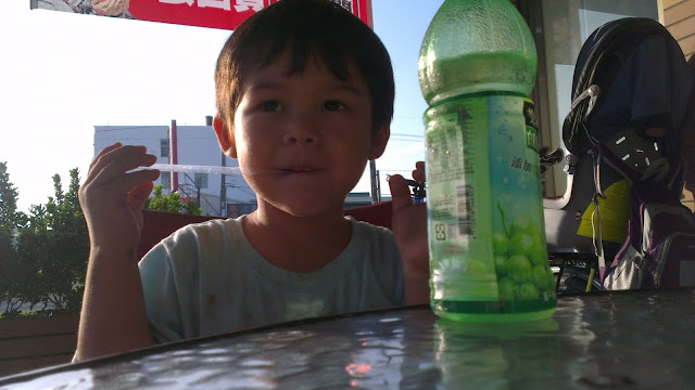
The way back, as with the ends of many journeys, was quiet. A quick stop at a 7-11 for refreshments and to give Christopher a chance to stretch his legs was the last stop before getting home.

IMAG0774.jpg
Trooper

The ride back was a slog into the wind. The combination of a strong headwind and the kids seat that acts like a sail were enough to slow progress significantly. But considering this was a pleasure ride, it was all good.

The best takeaway from this ride is that Tainan city is not unreasonably far to take Christopher on the bike. He seemed comfortable for the whole trip, he kept talking to me the whole time. This opens up a few possibilities for longer day trips in the area on bikes. Just need to think of where to go next.

IMAG0758.jpg
An Awesome Day

Ride Report – Tainan to Alishan

IMAG0583.jpg
Sunrise Over The Mountains

On the Friday evening I was given the go ahead for a ride on the weekend. I’ve had it in mind to head to the mountains, and that’s where I wanted to go.

I went straight to Google Maps and started plotting my course.

Typically I stick to the known roads in my neighborhood, those roads that I know where the busy parts are, how to avoid the icky parts, and which roads are better.

But there is an adventure in going to somewhere new.

Also, the mountains are only a 50km ride away, so it’s not too much of a stretch to ride there for the scenery.

Route Planning

IMAG0599.jpg
Near the Top

My first and biggest concern for this trip was the traffic. I am very wary of busy routes.

The main road up to Alishan is the No. 18. This road is pretty well-maintained. However, it is the main route to the Alishan resort, which is a very popular destination for tourists. Tourists are fine, but the tour busses they use are too big for these little roads.

It’s actually a wonder to me that they don’t limit the size of vehicles allowed on this very scenic road. There is very little reason that full-sized tour busses are needed. Limiting the mountain roads to 20-people, or smaller, busses would make the whole route so much more pleasant. The tour bus concern applies to Sun Moon Lake as well.

Anyways, I was looking for alternatives for at least part of the route.

I stumbled upon Andrew Kerslake’s and Michael Turton’s reports about a ride they had taken from the Taichung side and then back down to Chiayi.

Most notably was an alternate route that would avoid a pretty large chunk of the No. 18. It looked good and so the plan was set. Up the 159甲, then hook up with the No.18 later on. This would shave 46km of tourist bus busyness off the trip.

Departure

I had no idea quite how long the trip would take, so I started early.

Left the door at 2:00AM. Paced myself through the well-lit roads of the flatlands towards the small-big city of Chiayi, which is nestled at the foot of the central mountain range.

Settled into an easy 25km/h to Chiayi where I stopped for a rice lunch box at a 7-11. Not yum, but intended to fill the gap. I also stocked up on 4 rice triangles for the long section ahead which I expected to be short on food stops.

The Hills Begin

IMAG0579.jpg
Top of the First Hill

On heading out of Chiayi I jumped straight onto the 159甲 and was greeted by what was to be a day absolutely chock full of climbing.

The road took a sudden turn upwards, not too drastic, but it maintained like that for quite a while.

I bumped into one other rider who was going just a short bit of the climb to a big temple.

I pushed on and hit the summit of the first hill sometime later.

The 159甲 did surprise me a little, as it had a lot more ups and downs than I expected. If you want a more consistent, continuous climb then the main road would be the best bet I think. The upside was that there were no other cars on the road, I think there were only 5 cars before I hit the no. 18 later in the morning.

It also started to become clear that I was going to be short on food. With nowhere to buy anything, my rice triangles were going to have to fuel me for a lot longer than I had anticipated.

IMAG0585.jpg
Snack Stop

I stopped to fuel up on some of the food I’d brought and also had a look at how much water I had left. It was not looking good.

Thankfully, somewhere along the road I bumped into a store that just had a whole bunch of stuff, including water. I filled up my bottles, polished off a good load of water and headed on.

The Main Haul

IMAG0586.jpg
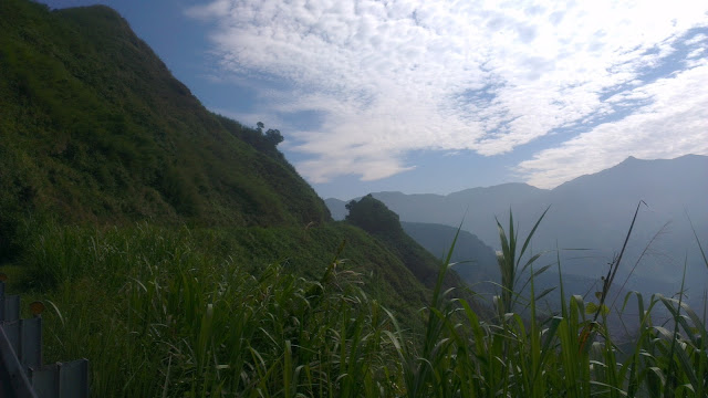
Vivid Green Mountains in the Morning Sun

It really is an understatement to say that the mountains are beautiful. They are stunning.

I joined the No. 18 to the constant buzz of big busses passing by. To their credit, almost every single one moved over to give me room as they passed. Although at this point I have to say that I have an instinctive habit of riding a bit out into the road and then pressing closer to the shoulder as the sound of the bus gets very close behind me.

IMAG0590.jpg
Going Up

There is so much beauty that gets missed when taking cars or busses. At almost any point where I felt tired I would simple move over to the side and lose myself in the wonder of these awesome mountains.

Moving at between 10km/h to 20km/h it’s pretty hard to miss anything on the route.

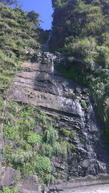
This little waterfall (waterflow) was just one small example that would go almost unnoticed by anyone other than someone on foot or on a bicycle.

IMAG0587.jpg
Waterfall

From here on, it was just continuous uphill, me against the mountain.

It was a long, consistent grind to the top.

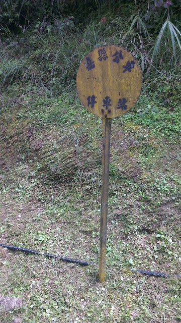
Another gem spotted on the way was this old bus stop sign, but no buses stopping there now.

IMAG0592.jpg
Old Bus Stop

Alishan

Finally I reached the Alishan area.

I was getting quite hungry, so just wanted to get to a convenience store and fill up.

As it turns out, I would have to pay NT$200 to get into the damned place, just to go to the convenience store. I was pissed off. I’d spent 9 hours (or so) getting to this point, to be told I’d have to fork out more for a bloody entrance fee than I was intending to spend at the store.

I turned around and headed towards the peak…

…best decision ever!

After this point there were NO MORE BUSES.

What is wrong with the world?

This part after Alishan has old forests with trees that are hundreds of years old. There’s cool, crisp air. A thin mist sits atop of everything.

Alishan is a tourist trap, perfect for consumers, pay a few bucks, see an old train, spend, spend, spend. Argh.

I can’t understand the appeal for shopping up there. In South Africa there are trees everywhere. And natural (non-betelnut) trees are completely lacking in Taiwan, except for places like this.

Simple, natural beauty. Rant.

The Peak

IMAG0598.jpg
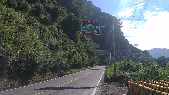
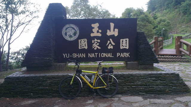
Yu-Shan National Park

Well, maybe not the real peak, but as high as I got when my time ran out.

I wish I’d had more time to stay on this part of the route. Unfortunately, once I got to the sign above at midday, it was time to head home.

I stopped to take in the scenery, breath in a bit of the fresh, crisp air and ponder on whether I should wear a jacket for the ride down.

The jacket stayed wrapped in my bag and I got to experience a few shivers that were countered by keeping my legs turning over to keep my speed up.

IMAG0593.jpg
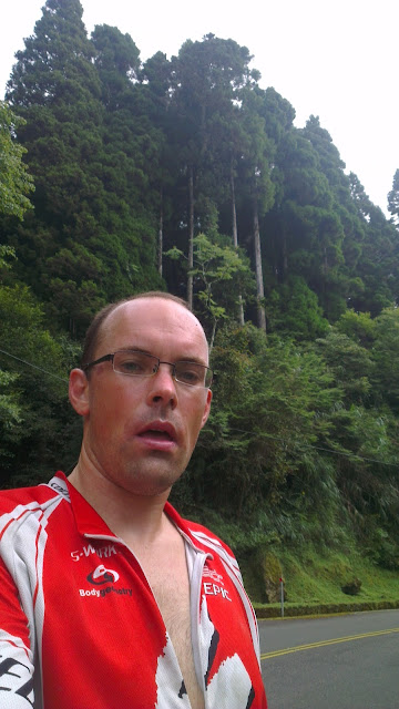
Tall Trees

Now I was hungry and quite tired, but it was now downhill.

Homeward Bound

IMAG0604.jpg
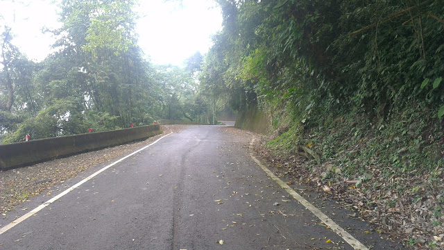
159甲

The downhill was fast and fun.

I have to say that being passed quickly by buses is more pleasant than riding with them at the same speed. The main road is sufficiently bad that hitting one of the many ruts at 50km/h+ is quite a thump. It was quick though. Seeing buses passing each other over double-solid lines around blind corners is a reminder of just how shit these drivers really can be. Keep your distance.

There was a passing thought to follow the main road all the way back to Chiayi, but following an unfamiliar, and unplanned, route on the way back didn’t seem sensible so I went back the way I’d come. A few more climbs, but still very little traffic and pleasant.

Had a 20 minute nap at the side of the road at one point along this road, then pressed on to Chiayi.

I stopped in at McDees for a huge injection of junk food before 50km of flatland cruising to get home.

Home

I got home at 19:00 or so and munched down some great food at my inlaws.

The end of a day to remember.

Being in the old trees at the top of the mountain was so peaceful and relaxing. It literally kept me invigorated or the entire week. Only after being up there do I realize how much I need to get outside and into the mountains.

Anyways I reached my goal of 2400m, I was aiming for 2500m but this was just fine for my liking.

Next time, I’ll leave earlier in the morning so I can get to the top earlier in the day, giving a little more time for exploring. I wonder what the road that stretches to Sun Moon Lake is like, that could be awesome.

Distance: 280km
Time: 17hrs (including rests)
Minimum Altitude: sea level
Maximum Altitude: 2400m

More pictures here.