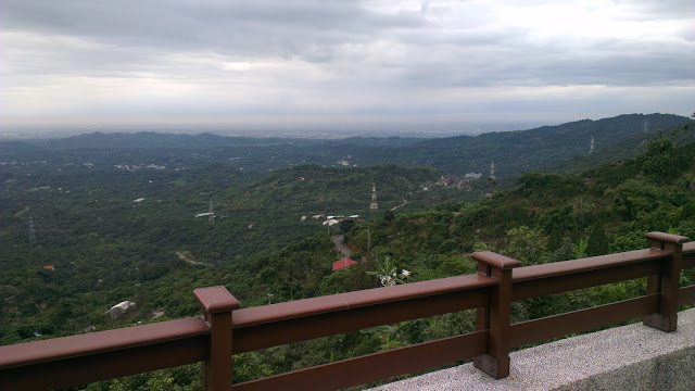
I had the morning off work, so with the kids at school and around four hours on my hands I set to exploring.
I have been keen to explore the mountains around Tainan. This hasn’t been hugely successful in the past, but I was determined to make it work out this time.
Alishan was one of the first I found. After riding up Alishan I had found that the ride to Jiayi City and the base of those hills was only around 50km from my front door. That is doable in 2 hours along pretty quiet roads.
The problem is that is still four hours of commuting time simply getting to the hills which doesn’t make it easy to get out and climb if you really want to.
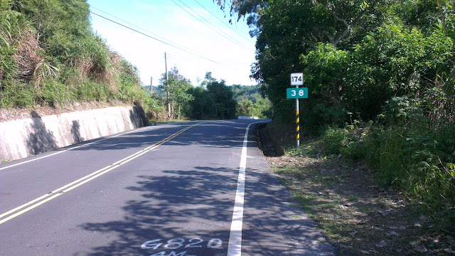
The other one is the route to the southern cross-island highway. This route is, unfortunately, quite sucky. It involves a lot of traversing through towns and traffic lights and once you hit the hills they are really not all that pretty or inviting. It takes a long while to get to the awesome parts of that road. Maybe I’m picky, but if the hills are sucky, I’d rather just ride the flats. The southern cross has wonderful dramatic scenery with mountains plunging straight down into the rivers below, but if takes a good 80km or more to get to that good stuff.
An adult student of mine told me of an area quite close by that he said was both beautiful and quiet, a sacred combination in Taiwan, and another friend of mine had mentioned the area before too, so I searched around for the roads of Google maps and then headed off.
The route starts with a quick 10 minutes flat along my least favorite road to the nearby town of Madou, most famous for the scrumptious pomelos that I am so happy to gorge down on when that time of year comes around.
I have come to deal with the unpleasantness of this bit, and find that it now passes by quite effortlessly. Once through this town it’s quiet country roads, heading in a North-Easterly direction. All flat and quick going.
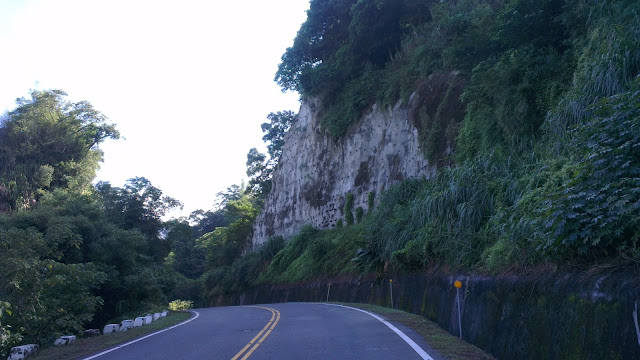
After passing through the small town on Liujia, I quickly arrived at the hills. Just 28km of flats and I was into the luscious green tree-lined roads that so epitomize Taiwan’s most beautiful mountain roads.
It slowly dawned on my that I had ridden these roads before, about 10 years ago, and they started fitting together like the pieces of a half-forgotten dream.
I continued climbing at a moderate pace in preparation for the much bigger climb I knew was waiting. The road twisted and turned, and rose and dropped gently enough to give me respite on the downs and not tax me on the ups.
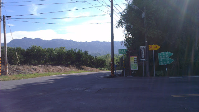
Unlike the last time I was on these hills, I had a better idea of where to find the good stuff. Although modern technology has removed a lot of the element of surprise from most journeys, it has also opened up the way for finding the biggest and highest routes without exploring every road and without resorting to paper-based contour maps. Google Maps is my tour guide.
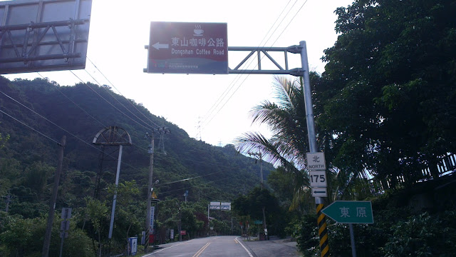
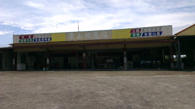
So at the butt-ugly rest stop I hooked a left onto the Dongshan Coffee Road, Tainan’s route 175. I was expecting endless lines of coffee shops but was actually greeted by nothing. A pleasant surprise, I have to say. I later found out that the vast majority of the coffee shops are in the vicinity of the huge temple on the hill. Not too surprising.
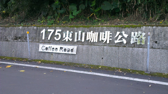
This road looked promising for further exploration, heading toward Guanzilin and Baihe, and being in close vicinity of a number of roads leading down to quiet rivers and the like. But today, my plans were taking me upward.
I was keeping my eye out for the climb to the top, but when I got to the first notable intersection I had already passed it.
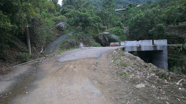
I backtracked and found the actual route to be a road possibly too narrow and too steep for a car. This was a slightly ominous sign, but with nothing to lose, and just fun on the menu, I just pressed on.
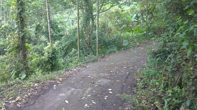
As it turns out, Google Maps doesn’t quite differentiate between road sizes. What I ended up on were concrete strips heading directly up the hill. I was straining to keep upright while pommeling away in granny gear.
At one point I was following the concrete strip but had to backtrack (again) and take a path that was just dirt, but then connected up with concrete again.
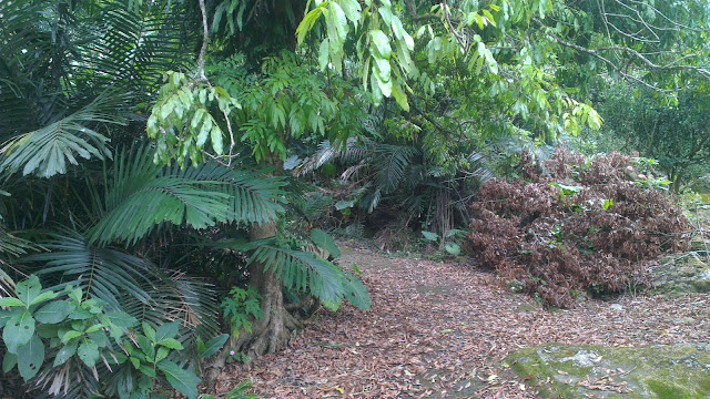
After plodding along for a little further I got to a road that looked like it might have been used by scooters at least a handful of times in the past year and after a last slippery section I popped out at a fully-fledged road.
I had inadvertently taken the road straight up rather than taking the twisting, turning route up.
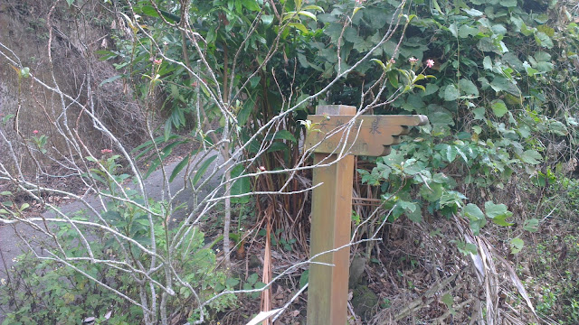
A quick , short, flattish section brought me to the crossroads of a few walking trails. These trailheads are often very well concealed and I was happy to find these and with a little more time can explore further into the hills. The detailed map shows where the paths head to. These all head to the top of the hill, or along the mountain range to who knows where. Trails for exploring.
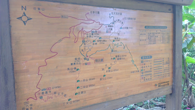
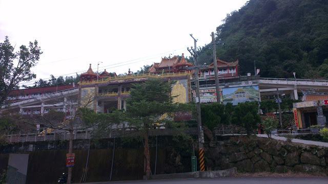
So after some quick pics and avoiding a few very nasty wasp-like things I headed back on down the hill. This time I followed the main road. Passed the huge temple, cruised on down for 300 vertical meters and was then back on the coffee road for the trek home.
I have to make a shout out to Corne who had mentioned these roads before. I had come to believe that Tainan was without any hills but as it turns out they are only a short hop from my front door. Less than an hour with a bit of a push.
All photos of Dongshan Mountain Coffee Road in Tainan ride on Picasa.